 Duchy of Masovia: All Data
This page is about the data available for this polity; the chronology of its events is available here.
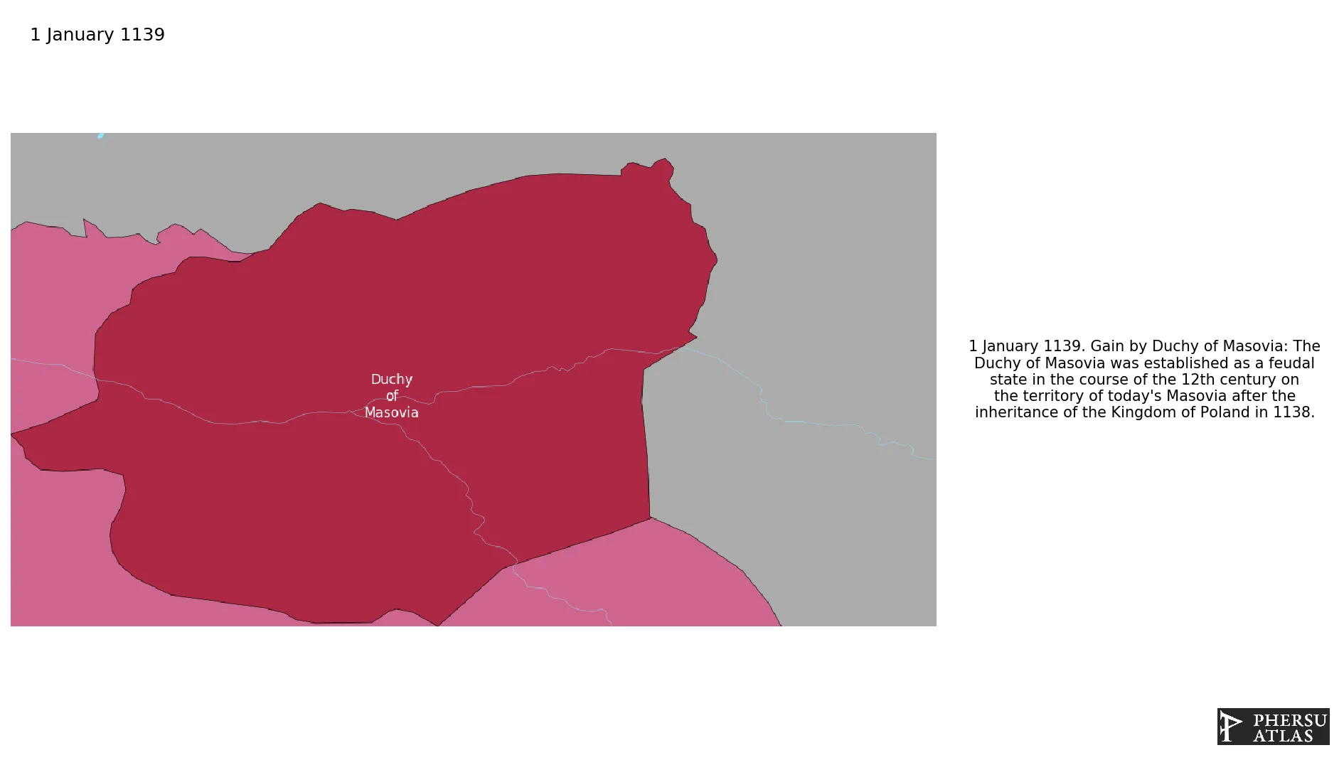
The Duchy of Masovia was established as a feudal state in the course of the 12th century on the territory of today's Masovia after the division of the Kingdom of Poland in 1138.
1. Genealogy

2. Maps of Political Control Over Time
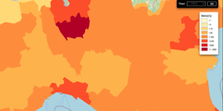
 Duchy of Masovia : Map showing the initial year each territory was ruled by the polity
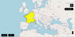
Duchy of Masovia : Maximal Extension of the Polity
Duchy of Masovia : Map showing the initial year each territory was ruled by the polity
Duchy of Masovia : Maximal Extension of the Polity
3. Monthly Summaries

4. Lists and Timelines
5. Rankings
 Duchy of Masovia : Top wars ordered by largest reached area
Duchy of Masovia : Top wars by territorial gain or loss in terms of area of the changes
Duchy of Masovia : Top wars by territorial gain or loss in terms of area difference
Duchy of Masovia : Top wars ordered by largest reached area
Duchy of Masovia : Top wars by territorial gain or loss in terms of area of the changes
Duchy of Masovia : Top wars by territorial gain or loss in terms of area difference
6. Time Series
Duchy of Masovia : Time Series of all Territorial Changes
Duchy of Masovia : time series of its population and area throughout history

