 Schwarzburg-Sonderhausen County: All Data
This page is about the data available for this polity; the chronology of its events is available here.
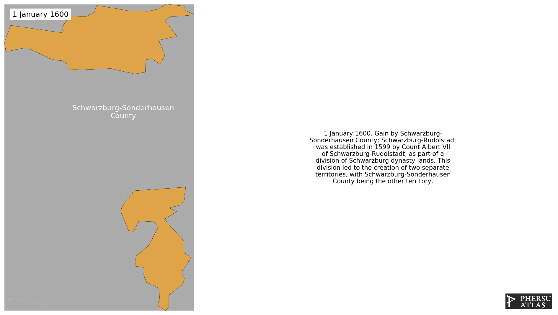
Was a county, and later a principality, of the Holy Roman Empire located in Thuringia. It emerged from the Division of the the County of Schwarzburg.
1. Genealogy

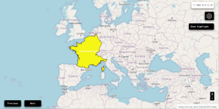
2. Maps of Political Control Over Time
 Schwarzburg-Sonderhausen County : Map showing the initial year each territory was ruled by the polity
Schwarzburg-Sonderhausen County : Maximal Extension of the Polity
Schwarzburg-Sonderhausen County : Map showing the initial year each territory was ruled by the polity
Schwarzburg-Sonderhausen County : Maximal Extension of the Polity
3. Monthly Summaries

4. Lists and Timelines
5. Rankings
 Schwarzburg-Sonderhausen County : Top wars ordered by largest reached area
Schwarzburg-Sonderhausen County : Top wars by territorial gain or loss in terms of area of the changes
Schwarzburg-Sonderhausen County : Top wars by territorial gain or loss in terms of area difference
Schwarzburg-Sonderhausen County : Top wars ordered by largest reached area
Schwarzburg-Sonderhausen County : Top wars by territorial gain or loss in terms of area of the changes
Schwarzburg-Sonderhausen County : Top wars by territorial gain or loss in terms of area difference
6. Time Series
Schwarzburg-Sonderhausen County : Time Series of all Territorial Changes
Schwarzburg-Sonderhausen County : time series of its population and area throughout history

