loilong
If you are looking for the page with the statistics about this nation you can find it here: All Statistics
The cluster includes all the forms of the country.
The cluster includes the following incarnations of the same nation:
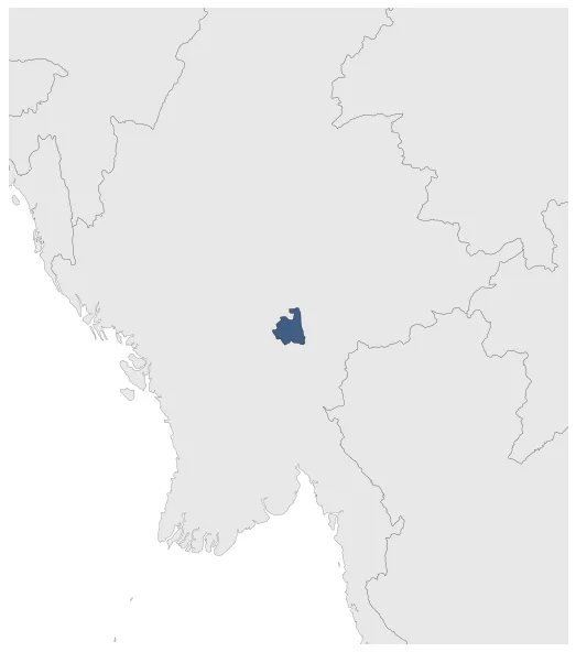
Loilong
Loilong (Princely State)
Establishment
January 1780: Establishment of Loilong.
Chronology
Interactive Chronologies with maps are available in the section Changes Navigation
1. Events
January 1886: The Shan States and Karenni States became princely states of the British Empire after the defeat of Burma in the Anglo-Burmese Wars.
January 1948: When Burma gained independence in 1948, the Shan States became part of the Union of Burma.
Disestablishment
January 1948: When Burma gained independence in 1948, the Shan States became part of the Union of Burma.
Selected Sources
Ricklefs, M.C. / Lockhart, B. / Lau. A. / Reyes,P. / Aung-Thwin, M. (2010). A New History of Southeast Asia, London (UK), p. 326
Yawnghwe, C.T. (2010): The Shan of Burma: Memoirs of a Shan Exile, Institute of Southeast Asian Studies, pp. 68-76