Maximum Extent
Maximum Extent (Interactive Map)

Data

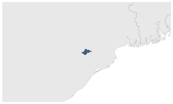
Name: rairakhol state

Type: Cluster

Start: 1751 AD

End: 1874 AD

Statistics

All Statistics: All Statistics

Icon rairakhol state

If you are looking for the page with the statistics about this nation you can find it here: All Statistics

The cluster includes all the forms of the country.

The cluster includes the following incarnations of the same nation:

  • Rairakhol State
  • Rairakhol State (Princely State)
  • Establishment


  • January 1751: Rairakhol was a feudatory state to Bamra until the 18th century, when the Garhjat Rajas of Patna freed it from its dependence.
  • Chronology


    Interactive Chronologies with maps are available in the section Changes Navigation

    1. Events


  • January 1802: Rairakhol State signs a subsidiary alliance with the British Empire.

  • Disestablishment


  • January 1875: Baudh State, also known as Boudh State, was one of the princely states of India during the period of the British Raj. It was recognized as a state in 1874.
  • All Phersu Atlas Regions

    Africa

    Americas

    Asia

    Europe

    Oceania