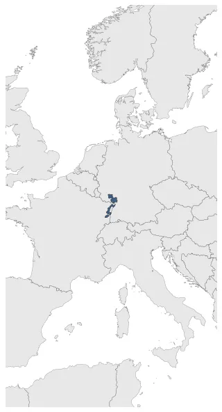
lower alsace
If you are looking for the page with the statistics about this nation you can find it here: All Statistics
The cluster includes all the forms of the country.
The cluster includes the following incarnations of the same nation:
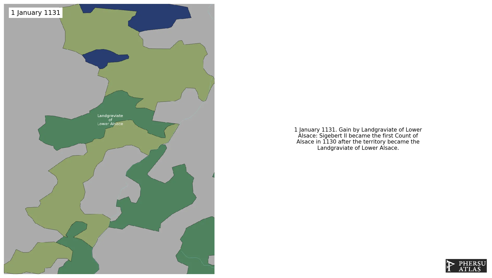
Landgraviate of Lower Alsace
Lower Alsace Landvogtei
Establishment
January 1131: Sigebert II became the first Count of Alsace in 1130 after the territory became the Landgraviate of Lower Alsace.
Chronology
Interactive Chronologies with maps are available in the section Changes Navigation
1. Events
January 1227: Colmar is declared a Free Imperial City.
January 1258: Hagenau is declared a Free Imperial City.
January 1261: Between 1223 and 1260 the bishops of Strasbourg Berthold I von Teck and Heinrich III. von Stahleck expanded the secular territory of their Bishopric.
January 1275: The bailiff in Alsace was established in 1274 by Rudolf von Habsburg.
January 1292: Landau is declared a Free Imperial City.
September 1322: After his victory over the Habsburg Frederick the Handsome in the Battle of Mühldorf on September 28, 1322, Alsace came under the control of Louis of Bavaria.
January 1326: After reverting to the Habsburgs in 1325, Alsace finally came under the rule of Louis IV of Bavaria after the death of Frederick IV in 1330.
January 1331: After reverting to the Habsburgs in 1325, Alsace finally came under the rule of Louis IV of Bavaria after the death of Frederick IV in 1330.
Disestablishment
January 1355: Weissenburg is declared a Free Imperial City.