witu
witu
If you are looking for the page with the statistics about this nation you can find it here: All Statistics
The cluster includes all the forms of the country.
The cluster includes the following incarnations of the same nation:
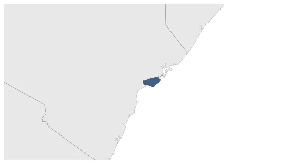
Sultanate of Witu
Witu (Germany)
Witu (Great Britain)
Establishment
January 1864: As Pate is conquered by Zanzibar, a small part of its territory fell under the control of the Sultanate of Witu.
Chronology
Interactive Chronologies with maps are available in the section Changes Navigation
1. Events
April 1885: On April 8, 1885, the Denhardt brothers acquired 25 × 25 miles (1600 km²) territory from Sultan Ahmad for their Tana committee and applied for a German Reich letter of protection. This protection was granted on May 27, 1885.
May 1885: German protectorate declared in Wituland.
July 1890: In accord with the 1890 Heligoland-Zanzibar Treaty, on 18 June 1890 a British protectorate was declared, and on 1 July 1890 imperial Germany renounced its protectorate, ceding the Wituland to Great Britain and becoming part of British East Africa.
Disestablishment
January 1906: From 1905 Witu was administered as a part of Tana District of the British East Africa Protectorate.

.svg.png.webp)