
Data
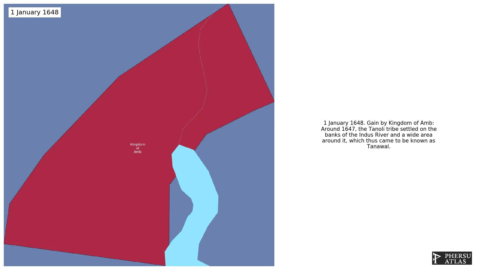
Name: Kingdom of Amb
Type: Polity
Start: 1648 AD
End: 1969 AD
Statistics
All Statistics: All Statistics
 Kingdom of Amb
If you are looking for the page with the statistics about this polity you can find it here:All Statistics
Was a precolonial polity located in modern-day Pakistan. Following the independence of Pakistan and India in 1947, the country re-emerged as the the Nawabs of Amb remained unaffiliated. It later acceded to Pakistan.
Establishment
Chronology
Interactive Chronologies with maps are available in the section Changes Navigation
1. Conquests of Ranjit Singh
Expansion during the rule of Ranjit Singh in the Sikh Empire.
Were a series of military conflicts between the Durrani Empire and the Sikh Empire that took place mainly in the Punjab region.
2. Partition of India
Was the partition of British India in two independent entities: India (with a Hindu majority) and Pakistan (with a Muslim majority). This included the several princely states that were dependent on the British Colony.


