
.svg.png.webp)
Data
Name: Ashmore and Cartier Islands
Type: Polity
Start: 1934 AD
End: 2022 AD
Parent: australia
Statistics
All Statistics: All Statistics
 Ashmore and Cartier Islands
If you are looking for the page with the statistics about this polity you can find it here:All Statistics
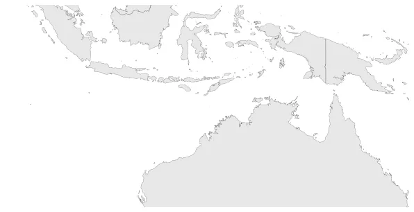
Is an uninhabited external territory of Australia consisting of four low-lying tropical islands. Formerly a British possession, the islands were placed under Australian control in 1934.
Establishment
Chronology
Interactive Chronologies with maps are available in the section Changes Navigation


