Boer Voortrekker Settlement of Winburg
If you are looking for the page with the statistics about this polity you can find it here:All Statistics
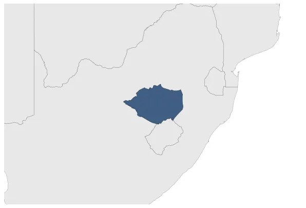
Was a Boer Republic (independent republics formed by Durch-speaking inhabitants of the Cape Colony that wanted to be independent from the British Cape Colony). It was located in Transvaal.
Establishment
November 1835: In order to escape british authority boers left the cape colony. The leader of the first large party, Hendrik Potgieter, concluded an agreement with Makwana, the chief of the Bataung tribe of Batswana, ceding to the farmers the country between the Vet and Vaal rivers.
Chronology
Interactive Chronologies with maps are available in the section Changes Navigation
1. Events
January 1837: Meanwhile, a new power had arisen along the upper Orange and in the valley of the Caledon. Moshoeshoe, a minor Basotho chief, had welded together a number of scattered and broken clans which had sought refuge in that mountainous region after fleeing from Mzilikazi, and had formed the Basotho nation which acknowledged him as king.
Disestablishment
January 1845: The Republic of Winburg-Potchefstroom was established in 1844 by Voortrekker settlers in the Boer Voortrekker Settlement of Winburg. The towns of Potchefstroom and Winburg, along with their surrounding territories, formed this independent Boer Republic.