Bompey
If you are looking for the page with the statistics about this polity you can find it here:All Statistics
Was an independent chiefdom in Sierra Leone.
Establishment
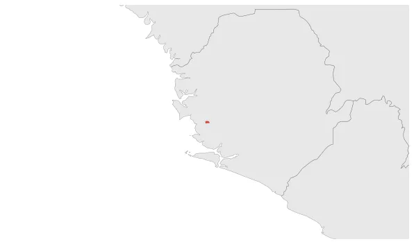
January 1821: Bompey chiefdom under Caulker dynasty in south-central Sierra Leone, concentrated in the northwestern portion of Southern Province.
Chronology
Interactive Chronologies with maps are available in the section Changes Navigation
1. Events
December 1881: In 1881, Bompey was incorporated into Sierra Leone under British rule. This decision was made during the colonial period when Sierra Leone was under the control of the British Empire. The incorporation of Bompey into Sierra Leone was part of the British colonial administration's efforts to expand and consolidate their territorial holdings in the region.
Disestablishment
December 1881: In 1881, Bompey was incorporated into Sierra Leone under British rule. This decision was made during the colonial period when Sierra Leone was under the control of the British Empire. The incorporation of Bompey into Sierra Leone was part of the British colonial administration's efforts to expand and consolidate their territorial holdings in the region.