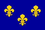
Most recent flag or coat of arms
Maximum Extent
Maximum Extent (Interactive Map)

Data

Name: Île Delphine

Type: Polity

Start: 1706 AD

End: 1737 AD

Parent: france

Statistics

All Statistics: All Statistics

Icon Île Delphine

If you are looking for the page with the statistics about this polity you can find it here:All Statistics

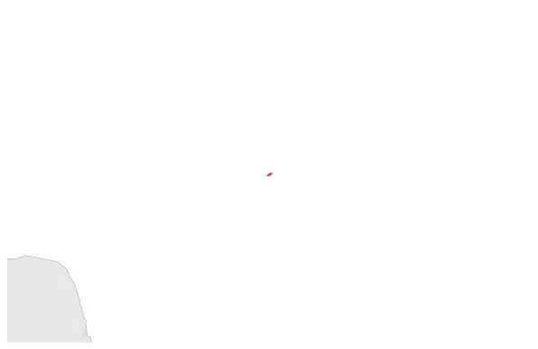
Fernando de Noronha, an archipelago in the Atlantic Ocean, part of the State of Pernambuco, Brazil, was controlled by France for 30 years.

Establishment


  • January 1706: In 1705, the French took control of Fernando de Noronha, renaming it Île Delphine. The archipelago remained under French colonial rule until 1737.
  • Chronology


    Interactive Chronologies with maps are available in the section Changes Navigation

    Disestablishment


  • January 1738: In 1737, the archipelago of Fernando de Noronha was taken over by the Portuguese due to its strategic location. It was then attached to the captaincy of Pernambuco, a province in Portuguese Brazil.
  • All Phersu Atlas Regions

    Africa

    Americas

    Asia

    Europe

    Oceania