
Data
Name: Emporion
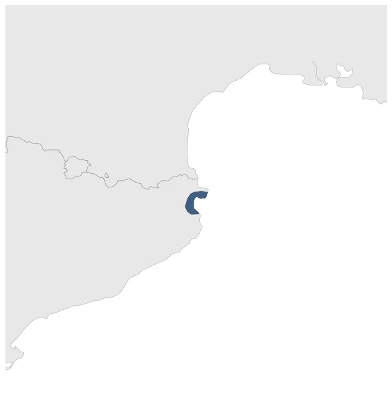
Type: Polity
Start: 574 BC
End: 218 BC
Statistics
All Statistics: All Statistics
 Emporion
If you are looking for the page with the statistics about this polity you can find it here:All Statistics
Was an Ancient Greek Polis (city-state) in Spain.
Establishment
Chronology
Interactive Chronologies with maps are available in the section Changes Navigation
1. Punic Wars
Were a series of wars between 264 and 146 BC fought between Rome and Carthage. The wars ended with the Roman conquest of the Carthaginian Empire.
Was the second of three wars fought between Rome and Carthage, the two main powers of the western Mediterranean. It ended with a Roman victory and the territories of Carthage were reduced to its core territory in modern-day Tunisia.
1.1.1.Spanish Front (Second Punic War)
Was the Carthaginian military campaign in the Iberian Peninsula during the Second Punic War.


