
Data
Name: Hayasa-Azzi
Type: Polity
Start: 1359 BC
End: 1312 BC
Statistics
All Statistics: All Statistics
 Hayasa-Azzi
If you are looking for the page with the statistics about this polity you can find it here:All Statistics
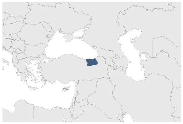
A Late Bronze Age confederation formed between two kingdoms of Armenian Highlands, Hayasa located South of Trabzon and Azzi, located north of the Euphrates and to the south of Hayasa.
Establishment
Chronology
Interactive Chronologies with maps are available in the section Changes Navigation
1. Campaigns of Muršili II
Military campaigns of Hittite king Muršili II.


