Maximum Extent
Maximum Extent (Interactive Map)

Data

Name: Idjang

Type: Polity

Start: 1201 AD

End: 1783 AD

Statistics

All Statistics: All Statistics

Icon Idjang

If you are looking for the page with the statistics about this polity you can find it here:All Statistics

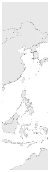
Were indigenous polities on the Batanes Islands (Philippines) whose individual names are unknown. The polities disappeared when Spain colonized the islands.

Establishment


  • January 1201: 12th century Sung-type ceramics and Chinese beads and other artefactual materials recovered from an ijang were dated at almost the same time as the foundations of the Okinawan castles beginning from circa 1200 CE.
  • Chronology


    Interactive Chronologies with maps are available in the section Changes Navigation

    Disestablishment


  • January 1784: In 1783, the Spaniard invaders claimed Batanes as part of the Philippines under the auspices of Governor-General José Basco y Vargas. This made its own history to be vanished rapidly.
  • All Phersu Atlas Regions

    Africa

    Americas

    Asia

    Europe

    Oceania