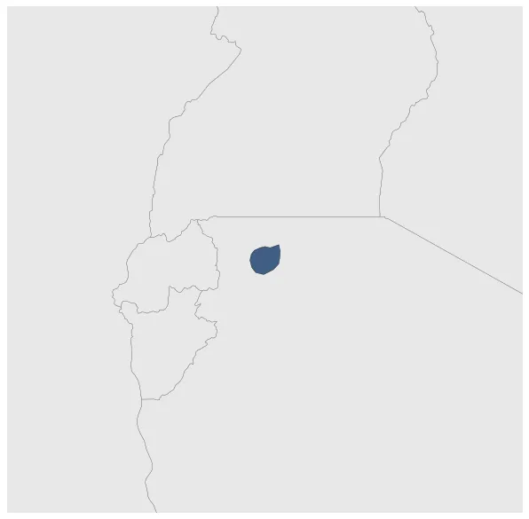
Ihangiro
If you are looking for the page with the statistics about this polity you can find it here:All Statistics
Was one of the precolonial African Great Lakes Kingdoms.
Establishment
January 1626: Ntare I was a powerful ruler of the Kingdom of Burundi in East Africa from around 1625 to 1680. During his reign, the kingdom expanded its territory into what is now the Kagera Region of Tanzania, including the area of Ihangiro.
Chronology
Interactive Chronologies with maps are available in the section Changes Navigation
1. Events
January 1851: Establishment of Kimwani in the actual Kimwani rural ward in Tanzania.
Disestablishment
January 1891: By 1st july 1890 Germany controlled all of Tanganyka (the continental part of modern-day Tanzania), Burundi and Rwanda as with the Heligoland-Zanzibar Treaty the treaty with the East Africa Protectorate controlled by Britain was fixed.
Selected Sources
Langer, W. L. (1951): The Diplomacy of Imperialism, 1890-1902, (1951) , Cambridge (USA), pp. 6-10