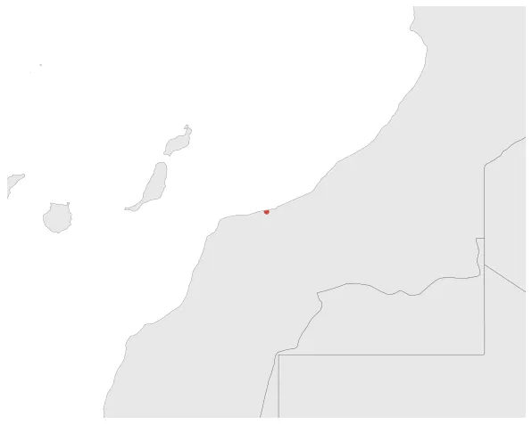
Santa Cruz de la Mar Pequeña
If you are looking for the page with the statistics about this polity you can find it here:All Statistics
A Spanish Enclave in North Africa.
Establishment
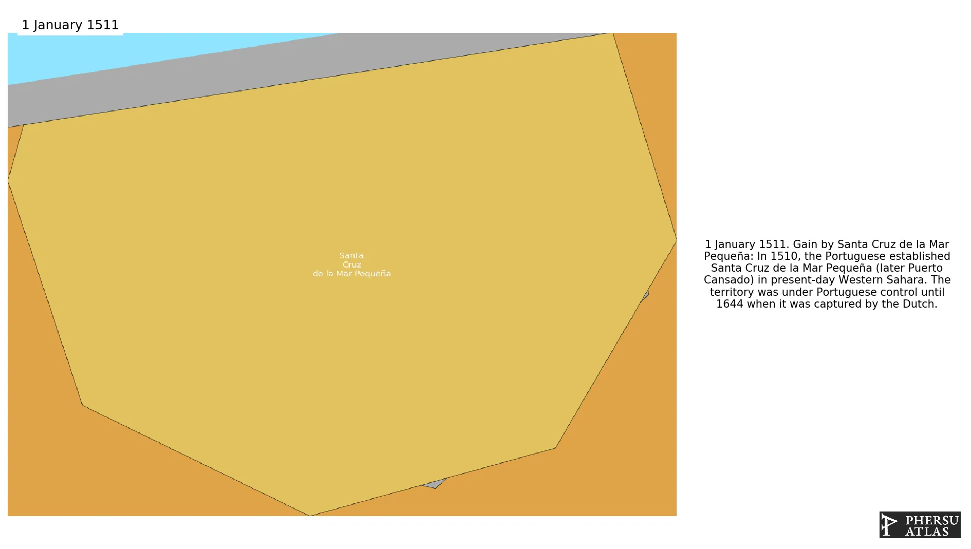
January 1511: In 1510, the Portuguese established Santa Cruz de la Mar Pequeña (later Puerto Cansado) in present-day Western Sahara. The territory was under Portuguese control until 1644 when it was captured by the Dutch.
Chronology
Interactive Chronologies with maps are available in the section Changes Navigation
1. Events
January 1517: King Charles I, known as Emperor Charles V, in 1516 united all the kingdoms on the Iberian peninsula, save the Kingdoms of Portugal and the Algarve. At the same time his territories also encompassed the Habsburg domains in central Europe and in the Low Countries.
January 1556: Charles V, who was King of Spain and Emperor of the Holy Roman Empire, left the Spanish Empire to his son Philip and the Austrian Lands to his brother Ferdinand I.
Disestablishment
January 1645: In 1644, Santa Cruz de la Mar Pequeña (later Puerto Cansado) was captured by the Saadi dynasty, a ruling dynasty of Morocco. This territory was previously under Spanish control from 1510 until 1644.