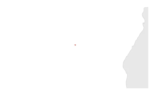
Most recent flag or coat of arms
Maximum Extent
Maximum Extent (Interactive Map)

Data

Name: Juan de Nova

Type: Polity

Start: 1897 AD

End: 1960 AD

Parent: france

Statistics

All Statistics: All Statistics

Icon Juan de Nova

If you are looking for the page with the statistics about this polity you can find it here:All Statistics

Is a French-controlled tropical island in the narrowest part of the Mozambique Channel. It is part of the French Southern and Antarctic Lands since 1960.

Establishment


  • October 1897: L'empire colonial français rattache l'île ainsi que celle d'Europa et de Bassas da India par la loi du 6 août 1896 avant d'être officiellement sous souveraineté française par la mise en place du pavillon à la suite de l'acte du 31 décembre 1897.
  • October 1897: The Island of Juan de Nova is officially placed under French authority.
  • Chronology


    Interactive Chronologies with maps are available in the section Changes Navigation

    1. Events


  • April 1960: The French Mascarene islands become part of the French Southern and Antarctic Lands (Terres australes et antarctiques françaises).

  • Disestablishment


  • April 1960: The French Mascarene islands become part of the French Southern and Antarctic Lands (Terres australes et antarctiques françaises).
  • All Phersu Atlas Regions

    Africa

    Americas

    Asia

    Europe

    Oceania