
Data
Name: Kale
Type: Polity
Start: 966 AD
End: 1406 AD
Statistics
All Statistics: All Statistics
 Kale
Kale
If you are looking for the page with the statistics about this polity you can find it here:All Statistics
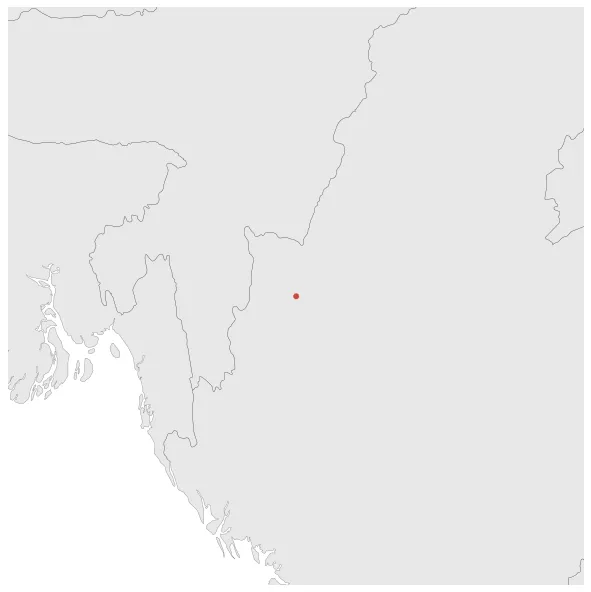
Was a Shan State in modern-day eastern Burma, centered on Kalay. The city was established as a town on 3 February 966.
Establishment
Chronology
Interactive Chronologies with maps are available in the section Changes Navigation
1. Forty Years´ War
Was a military war fought between the Burmese-speaking Kingdom of Ava and the Mon-speaking Kingdom of Hanthawaddy.


