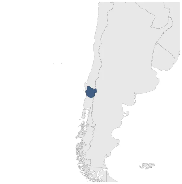
Araucanía
If you are looking for the page with the statistics about this polity you can find it here:All Statistics
Araucanía (today part of Chile) was recognized by the Treaty of Tapihue to be outside the Spanish Monarchy.
Establishment
December 1774: The Treaty of Tapihue was signed between the Spanish Crown and the Mapuche people of Araucanía. It recognized the autonomy of the Araucanía region and its people, led by Chief Curipan and Governor Francisco Marín Vicuña. This marked a significant moment in the history of indigenous resistance against Spanish colonization in Chile.
Chronology
Interactive Chronologies with maps are available in the section Changes Navigation
1. Events
January 1784: The Treaty of Lonquilmo was signed in 1784 between the Spanish Crown and the Mapuche people of Araucanía. This treaty recognized the sovereignty of the King of Spain over the territory.
Disestablishment
January 1784: The Treaty of Lonquilmo was signed in 1784 between the Spanish Crown and the Mapuche people of Araucanía. This treaty recognized the sovereignty of the King of Spain over the territory.