
Data
Name: Kingdom of Bola'ang
Type: Polity
Start: 1694 AD
End: 1901 AD
Statistics
All Statistics: All Statistics
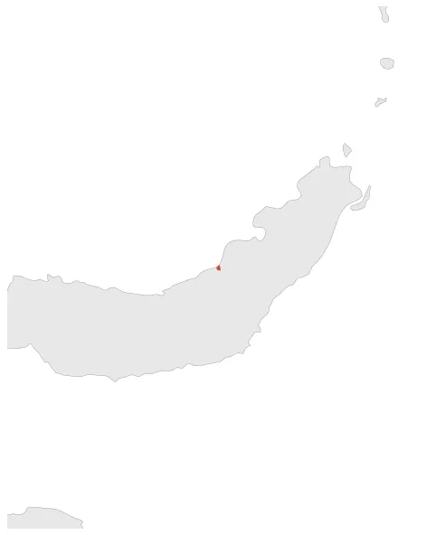
 Kingdom of Bola'ang
If you are looking for the page with the statistics about this polity you can find it here:All Statistics
Was one of the precolonial polities that existed on the island of Sulawesi (Indonesia).
Establishment
Chronology
Interactive Chronologies with maps are available in the section Changes Navigation


