Maximum Extent
Maximum Extent (Interactive Map)

Data

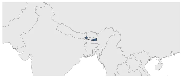
Name: Baro-Bhuyan Confederacy

Type: Polity

Start: 1501 AD

End: 1515 AD

Statistics

All Statistics: All Statistics

Icon Baro-Bhuyan Confederacy

If you are looking for the page with the statistics about this polity you can find it here:All Statistics

Was a confederation of soldier-landowners in Assam and Bengal in the late Middle Ages and the early modern period.

Establishment


  • January 1501: Though Hussain Shah developed extensive administrative structures, he lost political control of Kamata (a region corresponding to present-day undivided districts of Kamrup, Goalpara, Jalpaiguri, and Koch Behar in India and Rangpur and northern parts of Mymensingh in Bangladesh) to a confederation of Baro-Bhuyan within a few years.
  • Chronology


    Interactive Chronologies with maps are available in the section Changes Navigation

    Disestablishment


  • January 1516: Biswa Singha removed Baro-Bhuyan confederacy and established the Koch dynasty soon, in 1515.
  • All Phersu Atlas Regions

    Africa

    Americas

    Asia

    Europe

    Oceania