
Data
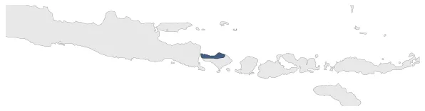
Name: Buleleng
Type: Polity
Start: 1687 AD
End: 1849 AD
Statistics
All Statistics: All Statistics
 Buleleng
If you are looking for the page with the statistics about this polity you can find it here:All Statistics
Was one of the kingdoms that emerged from the collapse of the Gelgel Kingdom, that reigned over the Indonesian island of Bali.
Establishment
Chronology
Interactive Chronologies with maps are available in the section Changes Navigation
1. Dutch Conquest of Bali
Were a series of military expeditions by the Dutch East Indies to conquer the island of Bali (Indonesia).
1.1.Dutch intervention in Northern Bali (1846)
Was a Dutch military intervention in the island of Bali, one of the many that eventually led to the annexion of the island to the Dutch East Indies.
1.2.Dutch intervention in Bali (1849)
Was a Dutch military intervention in the island of Bali, one of the many that eventually led to the annexion of the island to the Dutch East Indies.


