Most recent flag or coat of arms
Maximum Extent
Maximum Extent (Interactive Map)

Data

Name: Couto Misto

Type: Polity

Start: 1148 AD

End: 1864 AD

Statistics

All Statistics: All Statistics

Icon Couto Misto

If you are looking for the page with the statistics about this polity you can find it here:All Statistics

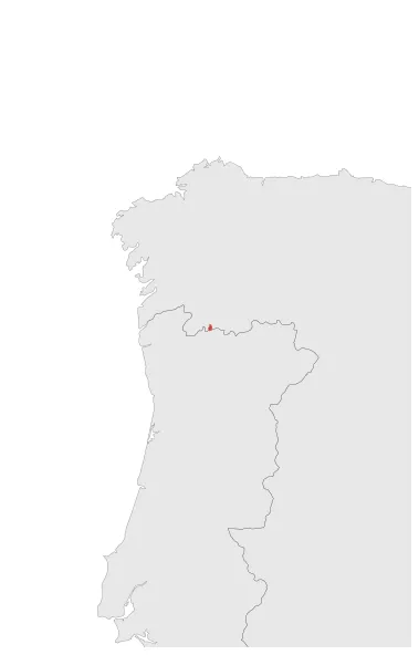
Was a territory that included the towns of Rubiás , Meaus and Santiago, in the border area between Portugal and Spain, independent of both kingdoms. Its origin dates back to the independence of Portugal ( c.1147), when the jurisdictional borders with León were established in an unclear way. The 1864 Treaty of Lisbon partitioned the territory between Spain and Portugal.

Establishment


  • January 1148: Couto Misto was a territory that included the towns of Rubiás , Meaus and Santiago, in the border area between Portugal and Spain, independent of both kingdoms. Its origin dates back to the independence of Portugal ( c.1147), when the jurisdictional borders with León were established in an unclear way.
  • Chronology


    Interactive Chronologies with maps are available in the section Changes Navigation

    1. Treaty of Lisbon (1864)


    The 1864 Treaty of Lisbon partitioned the territory of Couto Misto, an independent microstate, between Spain and Portugal.

  • September 1864: Portugal remained with a smaller uninhabited strip of land.
  • September 1864: Couto Misto operated as a sovereign state in its own right until the 1864 Treaty of Lisbon partitioned the territory with Spain (which annexed most of the land including the three villages).

  • Disestablishment


  • September 1864: Portugal remained with a smaller uninhabited strip of land.
  • September 1864: Couto Misto operated as a sovereign state in its own right until the 1864 Treaty of Lisbon partitioned the territory with Spain (which annexed most of the land including the three villages).
  • All Phersu Atlas Regions

    Africa

    Americas

    Asia

    Europe

    Oceania