
Data
Name: Emirate of Palu
Type: Polity
Start: 1496 AD
End: 1507 AD
Nation: palu
Statistics
All Statistics: All Statistics
 Emirate of Palu
This article is about the specific polity Emirate of Palu and therefore only includes events related to its territory and not to its possessions or colonies. If you are interested in the possession, this is the link to the article about the nation which includes all possessions as well as all the different incarnations of the nation.
If you are looking for the page with the statistics about this polity you can find it here:All Statistics
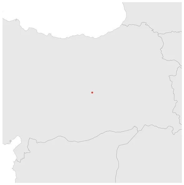
Was a Kurdish emirate which existed in around Palu (Turkey) from 1495 when it detached from the collapsing Aq Qoyunlu. In 1507, Palu aligned itself with Safavid Iran.
Establishment
Chronology
Interactive Chronologies with maps are available in the section Changes Navigation
1. Conquests of Ismail I
Expansion during the rule of Ismail I of the Safavid dynasty.


