Maximum Extent
Maximum Extent (Interactive Map)

Data

Name: Kuntala

Type: Polity

Start: 599 BC

End: 273 BC

Statistics

All Statistics: All Statistics
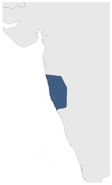
Icon Kuntala

If you are looking for the page with the statistics about this polity you can find it here:All Statistics

Was an ancient Indian kingdom that included the western Deccan and some parts of southern Karnataka.

Establishment


  • January 599 BC: The Kuntala country was an ancient Indian political region that probably included the western Deccan and some parts of southern Karnataka (erstwhile north Mysore). Kuntala coins are available since estimated 600-450 BC.
  • Chronology


    Interactive Chronologies with maps are available in the section Changes Navigation

    1. Military campaigns of Bindusara


    Military campaign of Bindusara, king of the Mauryan Empire.

  • January 272 BC: Expansion of the Magadha Kingdom until 273 BC.

  • Disestablishment


  • January 272 BC: Expansion of the Magadha Kingdom until 273 BC.
  • Selected Sources


  • Schwartzberg,J. E. (1992): A Historical Atlas of South Asia, Minneapolis (USA), Plate III.B.4b (p.18) and Plate XIV.1a-c (p.145).
  • All Phersu Atlas Regions

    Africa

    Americas

    Asia

    Europe

    Oceania