
.png.webp)
Data
Name: Mong Mao (Burma)
Type: Polity
Start: 1564 AD
End: 1604 AD
Nation: mong mao
Parent: burma
Statistics
All Statistics: All Statistics
 Mong Mao (Burma)
This article is about the specific polity Mong Mao (Burma) and therefore only includes events related to its territory and not to its possessions or colonies. If you are interested in the possession, this is the link to the article about the nation which includes all possessions as well as all the different incarnations of the nation.
If you are looking for the page with the statistics about this polity you can find it here:All Statistics
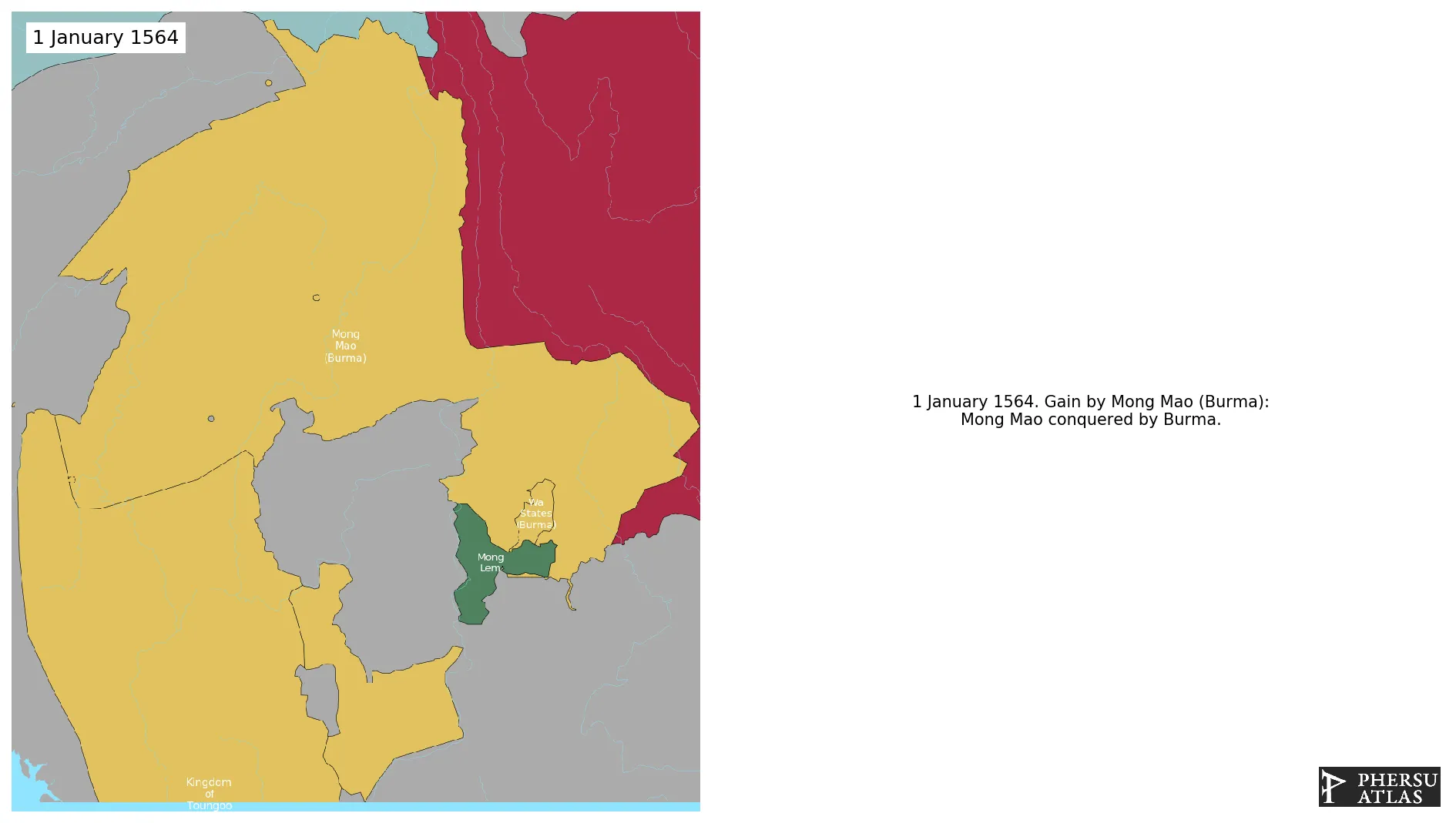
Was an ethnic Tai state that controlled several smaller Tai states or chieftainships along the frontier of what is now Myanmar, China, the states of Northeast India of Assam, and Arunachal Pradesh, principally set in the Dehong region of Yunnan with a capital near the modern-day border town of Ruili/Meng Mao. It was conquered by Burma in 1563.
Establishment
Chronology
Interactive Chronologies with maps are available in the section Changes Navigation


