Maximum Extent
Maximum Extent (Interactive Map)

Data

Name: Kasanze Kingdom

Type: Polity

Start: 1601 AD

End: 1649 AD

Statistics

All Statistics: All Statistics

Icon Kasanze Kingdom

If you are looking for the page with the statistics about this polity you can find it here:All Statistics

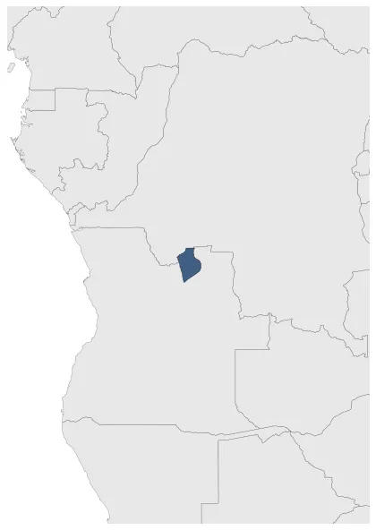
Was a pre-colonial Central West African state in what is today Angola. Kasanze became autonomous from the Kingdom of Kongo by 1600.

Establishment


  • January 1601: Kasanze became completely autonomous of Kongo by 1600.
  • Chronology


    Interactive Chronologies with maps are available in the section Changes Navigation

    Disestablishment


  • January 1650: Salvador Correia de Sá e Benevides, the new governor, made destroying Kasanze his first priority. He sent a force under Diogo Gomes de Sampaio including the Imbangala chief Kabuka ka Ndonga to face panji a ndona's forces. The Portuguese force was victorious. Panji a Ndona fled north but was overwhelmed by Portuguese ammunition, surrendering in 1649.
  • All Phersu Atlas Regions

    Africa

    Americas

    Asia

    Europe

    Oceania