
Data
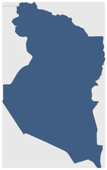
Name: Khorasan
Type: Polity
Start: 1316 AD
End: 1320 AD
Statistics
All Statistics: All Statistics
 Khorasan
If you are looking for the page with the statistics about this polity you can find it here:All Statistics
An autonomous domain in Khorasan created by the Prince of the Ilkhanate Yasa'ur.
Establishment
Chronology
Interactive Chronologies with maps are available in the section Changes Navigation


