

Data
Name: Hohenzollern-Sigmaringen County
Type: Polity
Start: 1577 AD
End: 1623 AD
Nation: hohenzollern-sigmaringen
Statistics
All Statistics: All Statistics
 Hohenzollern-Sigmaringen County
This article is about the specific polity Hohenzollern-Sigmaringen County and therefore only includes events related to its territory and not to its possessions or colonies. If you are interested in the possession, this is the link to the article about the nation which includes all possessions as well as all the different incarnations of the nation.
If you are looking for the page with the statistics about this polity you can find it here:All Statistics
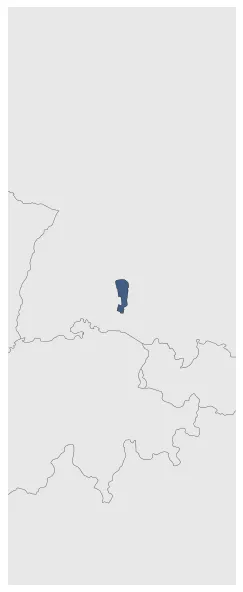
Was a county of the Holy Roman Empire located in southwestern Germany that originated from the division of the originary Hohenzollern County.
Establishment
Chronology
Interactive Chronologies with maps are available in the section Changes Navigation
1. Division of Hohenzollern
When Karl I of Hohenzollern died, his lands were divided between his three sons.


