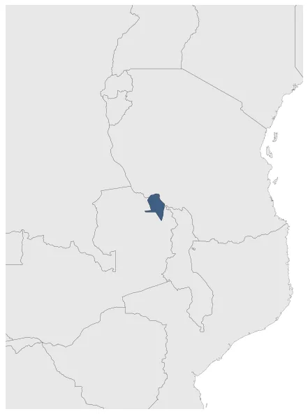
Nyamwanga
If you are looking for the page with the statistics about this polity you can find it here:All Statistics
Was one of the precolonial African Great Lakes Kingdoms.
Establishment
January 1701: Msyani (Chikananamulilo) was the first known king of the Nyamwanga. The Nyamwanga linguistic area is located between Tanzania and Zambia.
Chronology
Interactive Chronologies with maps are available in the section Changes Navigation
1. Events
July 1890: By 1st july 1890 Germany controlled all of Tanganyka (the continental part of modern-day Tanzania), Burundi and Rwanda as with the Heligoland-Zanzibar Treaty the treaty with the East Africa Protectorate controlled by Britain was fixed.
Disestablishment
January 1891: Most of Nyamwanga, now in Zambia, became part of the British South Africa Company.
Selected Sources
Langer, W. L. (1951): The Diplomacy of Imperialism, 1890-1902, (1951) , Cambridge (USA), pp. 6-10