
Data
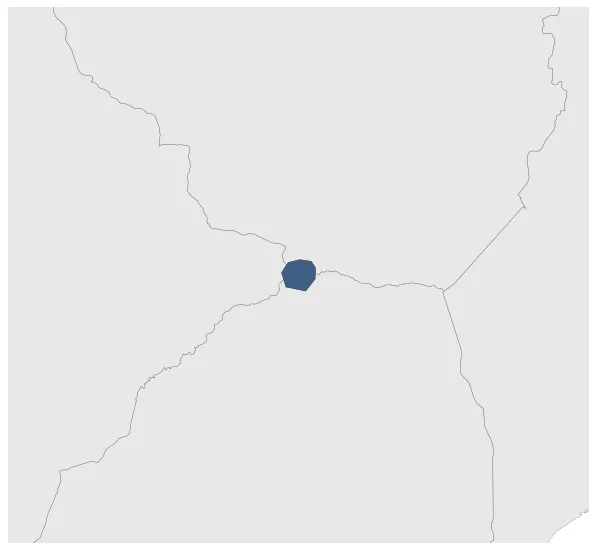
Name: Kingdom of Mapungubwe
Type: Polity
Start: 1076 AD
End: 1220 AD
Statistics
All Statistics: All Statistics
 Kingdom of Mapungubwe
If you are looking for the page with the statistics about this polity you can find it here:All Statistics
Was a medieval state in South Africa located at the confluence of the Shashe and Limpopo rivers.
Establishment
Chronology
Interactive Chronologies with maps are available in the section Changes Navigation


