Piedras Negras
If you are looking for the page with the statistics about this polity you can find it here:All Statistics
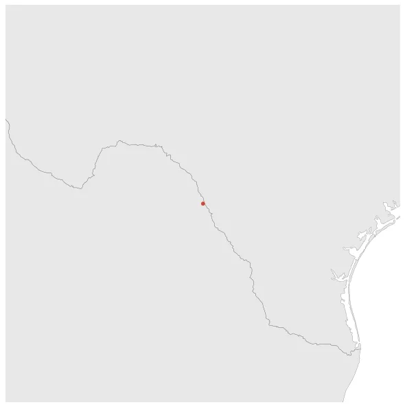
Piedras Negras was an independent city-state in Guatemala for most of the Early and Late Classic period.
Establishment
January 649 BC: Piedras Negras was an independent city-state for most of the Early and Late Classic periods, although it was sometimes in alliance with other states of the region and may have paid tribute to others at times. It had an alliance with Yaxchilan, in what is now Chiapas, Mexico, some 40 km up the Usumacinta River. Ceramics show the site was occupied from the mid-7th century BC to 850 AD.
Chronology
Interactive Chronologies with maps are available in the section Changes Navigation
Disestablishment
January 851: Piedras Negras was an independent city-state for most of the Early and Late Classic periods, although it was sometimes in alliance with other states of the region and may have paid tribute to others at times. It had an alliance with Yaxchilan, in what is now Chiapas, Mexico, some 40 km up the Usumacinta River. Ceramics show the site was occupied from the mid-7th century BC to 850 AD.