Quiriguá
If you are looking for the page with the statistics about this polity you can find it here:All Statistics
Was a Mesoamerican city-state located in Guatemala.
Establishment
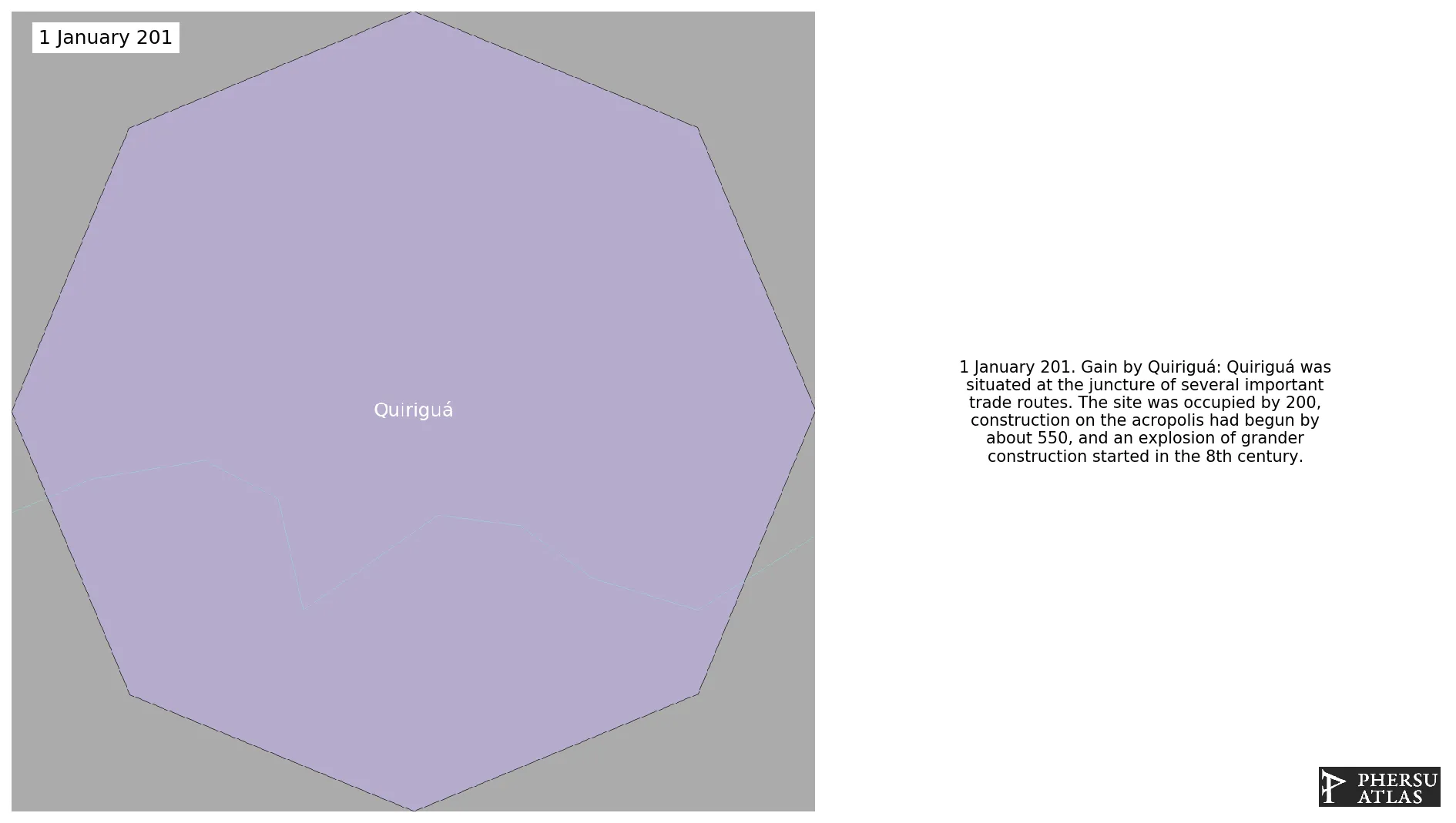
January 201: Quiriguá was situated at the juncture of several important trade routes. The site was occupied by 200, construction on the acropolis had begun by about 550, and an explosion of grander construction started in the 8th century.
Chronology
Interactive Chronologies with maps are available in the section Changes Navigation
Were a series of wars, mainly between Tikal and Calakmul on the Yucatán Peninsula.
1.1.Third Tikal-Calakmul War
Was a war between Tikal and Calakmul, two polities of central America.
January 735: In 734 at Altar M in Quiriguá, K’ak Tiliw Chan Yopaat gave himself the title k’uhul ajaw, thus declaring Quiriguá’s independence from Copán.
January 427: In 426, the Copán ruling dynasty was created with K'inich Yax K'uk' Mo' as the first king. The Dynasty went on to have sixteen rulers. Copán is located in modern-day Honduras, as described by Copán Altar Q. Soon thereafter, Yax K'uk' Mo' installed Tok Casper as king of Quiriguá, about 50 km north of Copán.
Disestablishment
January 1201: Quiriguá was situated at the juncture of several important trade routes. The site was occupied by 200, construction on the acropolis had begun by about 550, and an explosion of grander construction started in the 8th century. All construction had halted by about 850, except for a brief period of reoccupation in the Early Postclassic (c. 900 - c. 1200).