Video Summary
Video Summary
Maximum Extent
Maximum Extent (Interactive Map)

Data

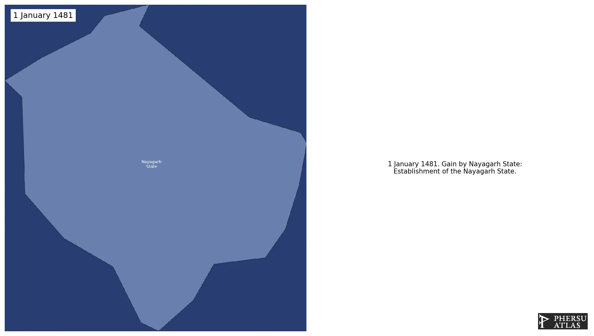
Name: Nayagarh State

Type: Polity

Start: 1481 AD

End: 1850 AD

Nation: nayagarh state

Statistics

All Statistics: All Statistics

Icon Nayagarh State

This article is about the specific polity Nayagarh State and therefore only includes events related to its territory and not to its possessions or colonies. If you are interested in the possession, this is the link to the article about the nation which includes all possessions as well as all the different incarnations of the nation.

If you are looking for the page with the statistics about this polity you can find it here:All Statistics

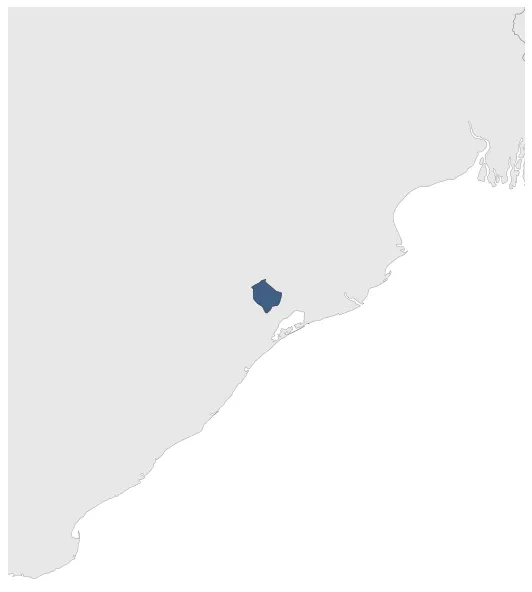
Was a polity located in the modern-day Indian State of Odisha.

Establishment


  • January 1481: Establishment of the Nayagarh State.
  • Chronology


    Interactive Chronologies with maps are available in the section Changes Navigation

    1. Events


  • January 1742: In 1741, Governor Joseph François Dupleix arrived in India, aiming to establish a French territorial empire. Commanded by Marquis Bussy-Castelnau, Dupleix's forces gained control over the area from Hyderabad to Cape Comorin.

  • December 1754: The Governor of French India, Charles Godeheu, signed a treaty with the British on December 26, 1754, agreeing to evacuate all the territories in India conquered by his predecessor, Joseph Dupleix. The British also agreed to leave the territories of French India that they had occupied.

  • Disestablishment


  • January 1851: Nayagarh State signs a subsidiary alliance with the British Empire.
  • All Phersu Atlas Regions

    Africa

    Americas

    Asia

    Europe

    Oceania