Republic of Winburg-Potchefstroom
If you are looking for the page with the statistics about this polity you can find it here:All Statistics
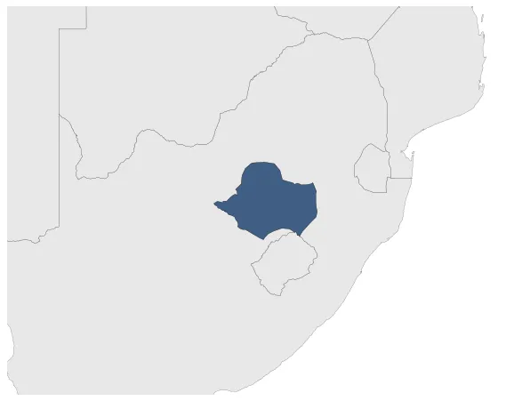
Was a Boer Republic (independent republics formed by Durch-speaking inhabitants of the Cape Colony that wanted to be independent from the British Cape Colony). It was located in Transvaal.
Establishment
January 1845: The towns of Potchefstroom and Winburg were established by Boer Voortrekkers in the 1830s. In 1844, they formed a republic together, known as the Republic of Winburg-Potchefstroom.
January 1845: The Republic of Winburg-Potchefstroom was established in 1844 by Voortrekker settlers in the Boer Voortrekker Settlement of Winburg. The towns of Potchefstroom and Winburg, along with their surrounding territories, formed this independent Boer Republic.
Chronology
Interactive Chronologies with maps are available in the section Changes Navigation
1. Events
February 1848: Sir Harry Smith proclaimed British sovereignty over Transorangia on 3 February 1848. A nominated legislative council was created, a high court established and other steps taken for the orderly government of the country, which was officially styled the Orange River Sovereignty.
Disestablishment
February 1848: Sir Harry Smith proclaimed British sovereignty over Transorangia on 3 February 1848. A nominated legislative council was created, a high court established and other steps taken for the orderly government of the country, which was officially styled the Orange River Sovereignty.