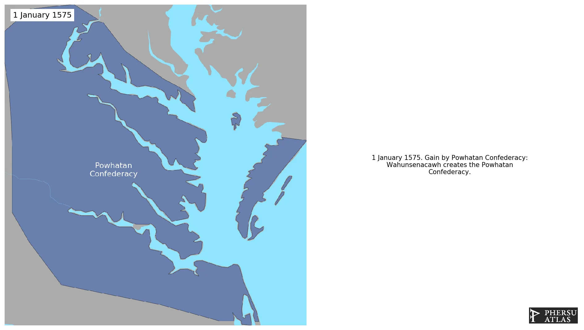
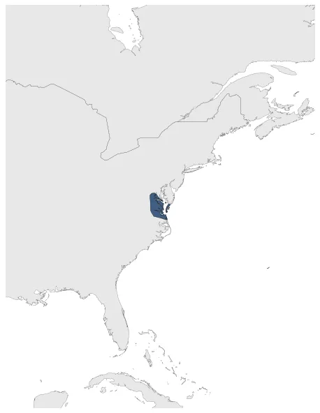
Powhatan Confederacy
If you are looking for the page with the statistics about this polity you can find it here:All Statistics
Was a native American confederacy of the Powhatan people located in Virginia.
Establishment
January 1575: Wahunsenacawh creates the Powhatan Confederacy.
Chronology
Interactive Chronologies with maps are available in the section Changes Navigation
Were a series of wars fought between settlers of the Virginia Colony and Algonquin Indians of the Powhatan Confederacy in the early 17th century.
1.1.First Anglo-Powhatan War
Was a war between the Virginia Colony and Algonquin Indians of the Powhatan Confederacy.
January 1615: The English colonists concluded a peace with the Powhatan that was sealed by the marriage of Pocahontas to colonist John Rolfe.
1.2.Second Anglo-Powhatan War
Was a war between the Virginia Colony and Algonquin Indians of the Powhatan Confederacy.
September 1632: A final peace was made between the English settlers and the Powhatan Confederacy in the Virginia Colony. This agreement gave Virginia the Eastern Shore and both sides of the James, as well as the southern shore of the York.
1.3.Third Anglo-Powhatan War
Was a war between the Virginia Colony and Algonquin Indians of the Powhatan Confederacy.
November 1646: The extent of the Virginia Colony open to patent was defined as the land between the Blackwater and York rivers.
Were a series of conflicts fought intermittently during the 17th century in North America throughout the Saint Lawrence River valley in Canada and the lower Great Lakes region which pitted the Iroquois League against the Hurons, northern Algonquians and their French allies.
January 1671: Iroquois expansion in the Susquehannas territories.
June 1632: In 1632, the territory that is now Maryland was granted to the English Lord Baltimore by King Charles I.
January 1647: After the Third Anglo-Powhatan war, the Colony is composed by: the land between the Blackwater and York rivers, and up to the navigable point of each of the major rivers - which were connected by a straight line running directly from modern Franklin on the Blackwater, northwesterly to the Appomattoc village beside Fort Henry, and continuing in the same direction to the Monocan village above the falls of the James, where Fort Charles was built, then turning sharp right, to Fort Royal on the York (Pamunkey) river. Necotowance thus ceded the English vast tracts of still-uncolonized land, much of it between the James and Blackwater. English settlements on the peninsula north of the York and below the Poropotank were also allowed, as they had already been there since 1640.
January 1653: In the peace treaty of 1652 the Susquehannock ceded to Maryland large territories on both shores of the Chesapeake Bay in return for arms and for safety on their southern flank.
May 1677: The Treaty of 1677 was signed in Virginia on May 28, 1677, between the English Crown and representatives from various Virginia Native American tribes, including the Powhatan Confederacy. This treaty marked a significant agreement between the colonists and the indigenous peoples of the region.
Disestablishment
May 1677: The Treaty of 1677 was signed in Virginia on May 28, 1677, between the English Crown and representatives from various Virginia Native American tribes, including the Powhatan Confederacy. This treaty marked a significant agreement between the colonists and the indigenous peoples of the region.
Selected Sources
Rayback, R.J. (1957): Atlas of New York State, Frank E. Richards, p. 12