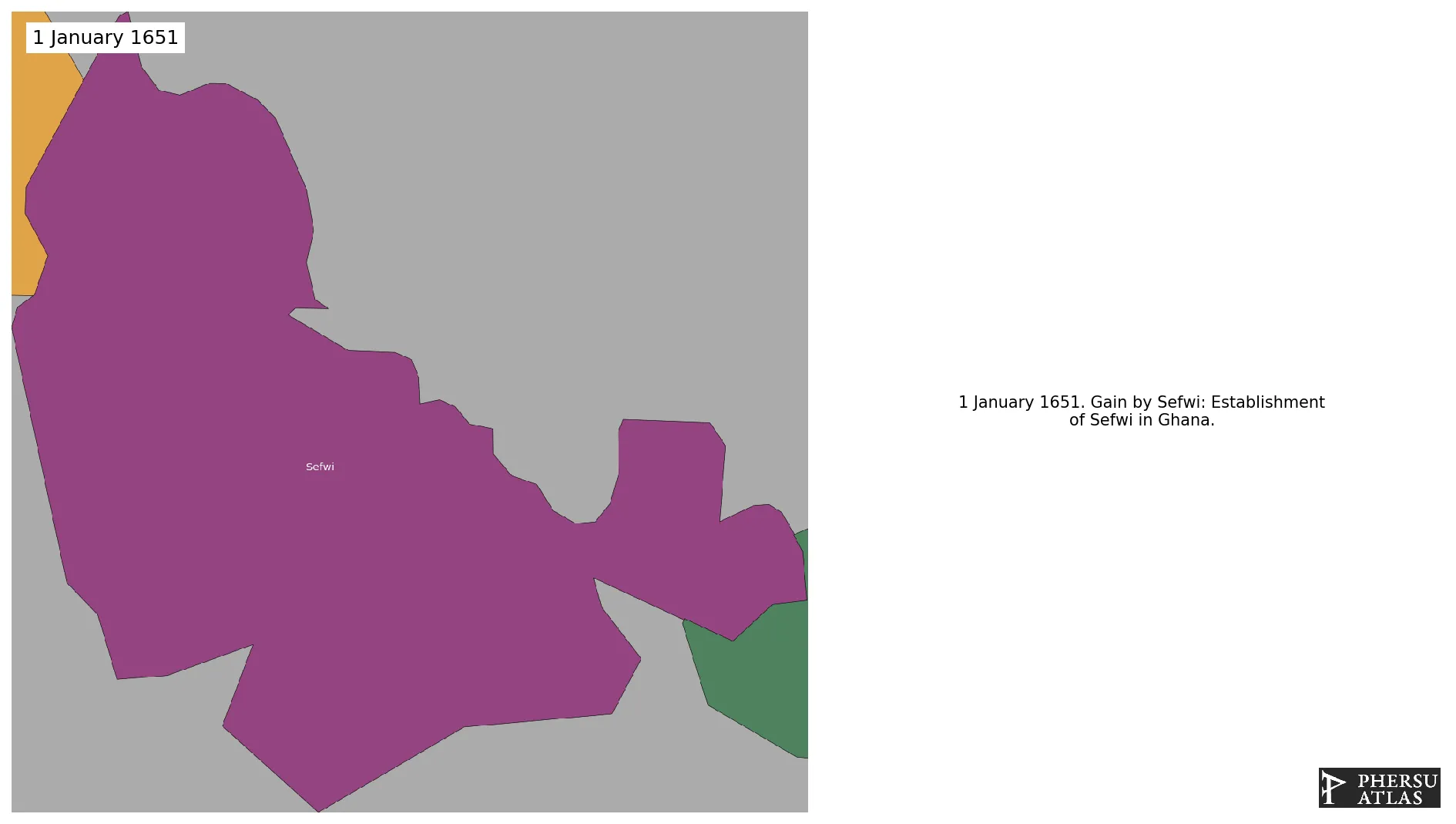
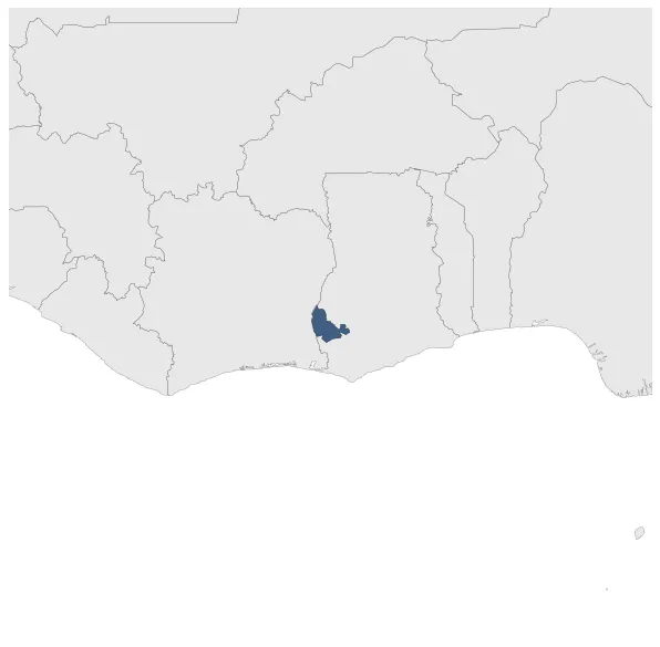
Sefwi
Sefwi
If you are looking for the page with the statistics about this polity you can find it here:All Statistics
Was a precolonial polity of Ghana.
Establishment
January 1651: Establishment of Sefwi in Ghana.
Chronology
Interactive Chronologies with maps are available in the section Changes Navigation
1. Events
August 1656: After the Dutch managed to dislodge the Swedes from Butre and began building Fort Batenstein at that site, the leaders of the Dutch West India Company thought it beneficial to negotiate a treaty with the local political leadership in order to establish a peaceful long-term relationship in the area. The local Ahanta leaders found it equally beneficial to enter into such an agreement, and thus on 27 August 1656, the Treaty of Butre was signed. This treaty established a Dutch protectorate in the area.
January 1671: Ashanti political organization was originally centered on clans headed by a paramount chief or Amanhene.One particular clan, the Oyoko, settled in the Ashanti's sub-tropical forest region, establishing a center at Kumasi. The Ashanti became tributaries of another Akan state, Denkyira.
Disestablishment
January 1902: The British controlled whole modern-day Ghana by 1901.