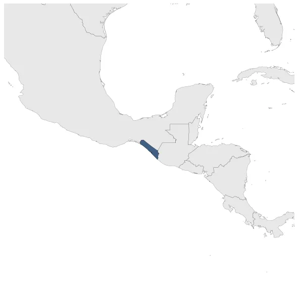
Maximum Extent
Maximum Extent (Interactive Map)

Data

Name: Soconusco

Type: Polity

Start: 1831 AD

End: 1842 AD

Statistics

All Statistics: All Statistics

Icon Soconusco

If you are looking for the page with the statistics about this polity you can find it here:All Statistics

The region of Soconusco in Central America was practically indpendent in the period where the border between Mexico and Guatemala was till unclear.

Establishment


  • January 1831: In 1830, Central American troops entered the Soconusco to pursue a political dissident, but troops from highland Chiapas countered their entrance.
  • Chronology


    Interactive Chronologies with maps are available in the section Changes Navigation

    Disestablishment


  • January 1843: Claring it part of the Quetzaltenango District in 1840. The population here favored inclusion into Guatemala. However, Antonio López de Santa Anna sent troops into Soconusco and the rest of Chiapas to press the population to formally unite with Mexico, which Soconusco did in 1842.
  • All Phersu Atlas Regions

    Africa

    Americas

    Asia

    Europe

    Oceania