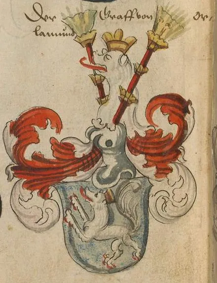
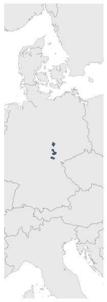
Orlamünde County
If you are looking for the page with the statistics about this polity you can find it here:All Statistics
Was a county of the Holy Roman Empire.
Establishment
January 1033: Establishment of Orlamünde County.
Chronology
Interactive Chronologies with maps are available in the section Changes Navigation
1. Events
January 1335: At the beginning of the 13th century, Rudolstadt was owned by the Counts of Orlamünde, from whom it passed in part around 1300 and in 1334 completely to the Counts of Schwarzburg.
April 1346: The Thuringian War of the Counts followed from 1342 to 1346. As a result, the Wettins concluded the Peace of Dresden with the Counts of Weimar-Orlamünde on April 11, 1346. The Orlamünder had to give their ancestral land to the Wettins as a fief and thus lost their imperial immediacy and their political independence.
Disestablishment
April 1346: The Thuringian War of the Counts followed from 1342 to 1346. As a result, the Wettins concluded the Peace of Dresden with the Counts of Weimar-Orlamünde on April 11, 1346. The Orlamünder had to give their ancestral land to the Wettins as a fief and thus lost their imperial immediacy and their political independence.