
Data
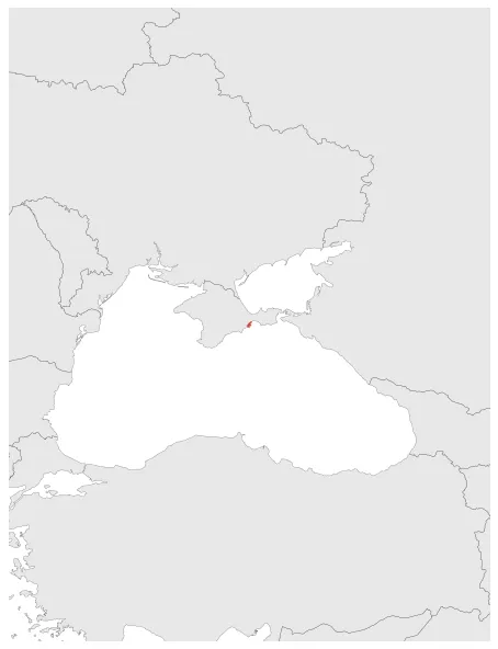
Name: Theodosia
Type: Polity
Start: 599 BC
End: 310 BC
Statistics
All Statistics: All Statistics
 Theodosia
If you are looking for the page with the statistics about this polity you can find it here:All Statistics
A Greek polis in the ancient region of Skythia Pontica.
Establishment
Chronology
Interactive Chronologies with maps are available in the section Changes Navigation
1. Conquests of Prytanis
Conquests by Prytanis, ruler of Bosporan Kingdom.


