Sultanates of Lanao
If you are looking for the page with the statistics about this polity you can find it here:All Statistics
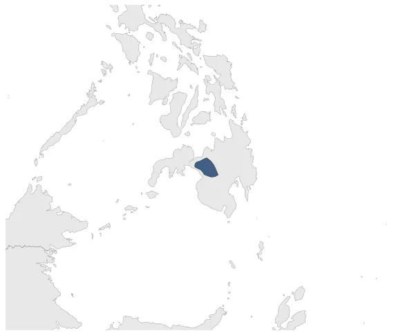
Was a precolonial confederation of Sultanates on the island of Mindanao in the Philippines.
Establishment
January 1521: Unlike in Sulu and Maguindanao, the Sultanate system in Lanao was uniquely decentralized. The area was divided into Four Sovereign States of Lanao or the Pat a Phangampong a Ranao which are composed of a number of royal houses (Sapolo ago nem a Panoroganan or The Sixteen (16) Royal Houses) with specific territorial jurisdictions within mainland Mindanao. This decentralized structure of royal power in Lanao was adopted by the founders, and maintained up to the present day, in recognition of the shared power and prestige of the ruling clans in the area, emphasizing the values of unity of the nation (Kaiisaisa o Bangsa), patronage (kaseselai) and fraternity (kaphapagaria).
Chronology
Interactive Chronologies with maps are available in the section Changes Navigation
Disestablishment
January 1641: The Spaniards formally annexed the Sultanate of Lanao, without actually controlling it.