Totonacs
If you are looking for the page with the statistics about this polity you can find it here:All Statistics
Was a polity founded by the Totonac people in Mexico.
Establishment
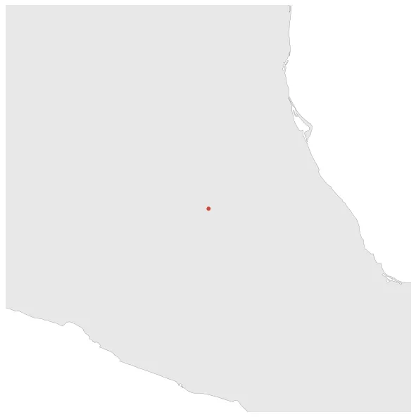
January 1151: The ancient Totonacs developed in the central part of Veracruz and towards the Late Classic period, their occupational area reached south to the Papaloapan River basin, west to the municipalities of Acatlán state of Oaxaca, Chalchicomula state of Puebla, the Perote Valley, the mountains of Puebla and Papantla and the lowlands of the Cazones River.
Chronology
Interactive Chronologies with maps are available in the section Changes Navigation
Expansion during the rule of Itzcoatl in the Aztec Empire.
January 1429: The Aztec Empire was founded in 1428 through an alliance between the city-states of Mexico-Tenochtitlan, Texcoco, and Tlacopan. These three city-states controlled the Valley of Mexico and surrounding areas, forming a powerful empire in Mesoamerica.
Disestablishment
January 1451: The Totonacs were conquered by the Nahuas of the Aztec Triple Alliance.