Maximum Extent
Maximum Extent (Interactive Map)

Data

Name: Unique Guanarteme of Gran Canaria

Type: Polity

Start: 1376 AD

End: 1405 AD

Statistics

All Statistics: All Statistics

Icon Unique Guanarteme of Gran Canaria

If you are looking for the page with the statistics about this polity you can find it here:All Statistics

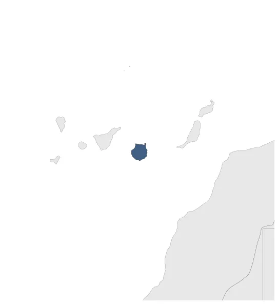
Was a Guanche native kingdom that controlled the whole island of Gran Canaria. It fragmented in two successor states in 1405.

Establishment


  • January 1376: Until the second half of the 14th century, the island was divided into twelve independent areas. In 1375, Gumidafe, the chief of the Tejeda tribal district, in an act of war, subdued the other eleven gayres, the chiefs of the island's tribal districts, and proclaimed himself Guanarteme.
  • Chronology


    Interactive Chronologies with maps are available in the section Changes Navigation

    Disestablishment


  • January 1406: Divided after the death of Artemi Semidán in 1405.
  • January 1406: Traditional sources point to the existence in Gran Canaria in the moments prior to the European conquest of two superior territorial demarcations known in modern historiography as guanartematos : that of Gáldar and that of Telde.
  • All Phersu Atlas Regions

    Africa

    Americas

    Asia

    Europe

    Oceania