Video Summary
Video Summary
Maximum Extent
Maximum Extent (Interactive Map)

Data

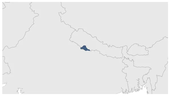
Name: Tulsipur State

Type: Polity

Start: 1551 AD

End: 1859 AD

Statistics

All Statistics: All Statistics

Icon Tulsipur State

If you are looking for the page with the statistics about this polity you can find it here:All Statistics

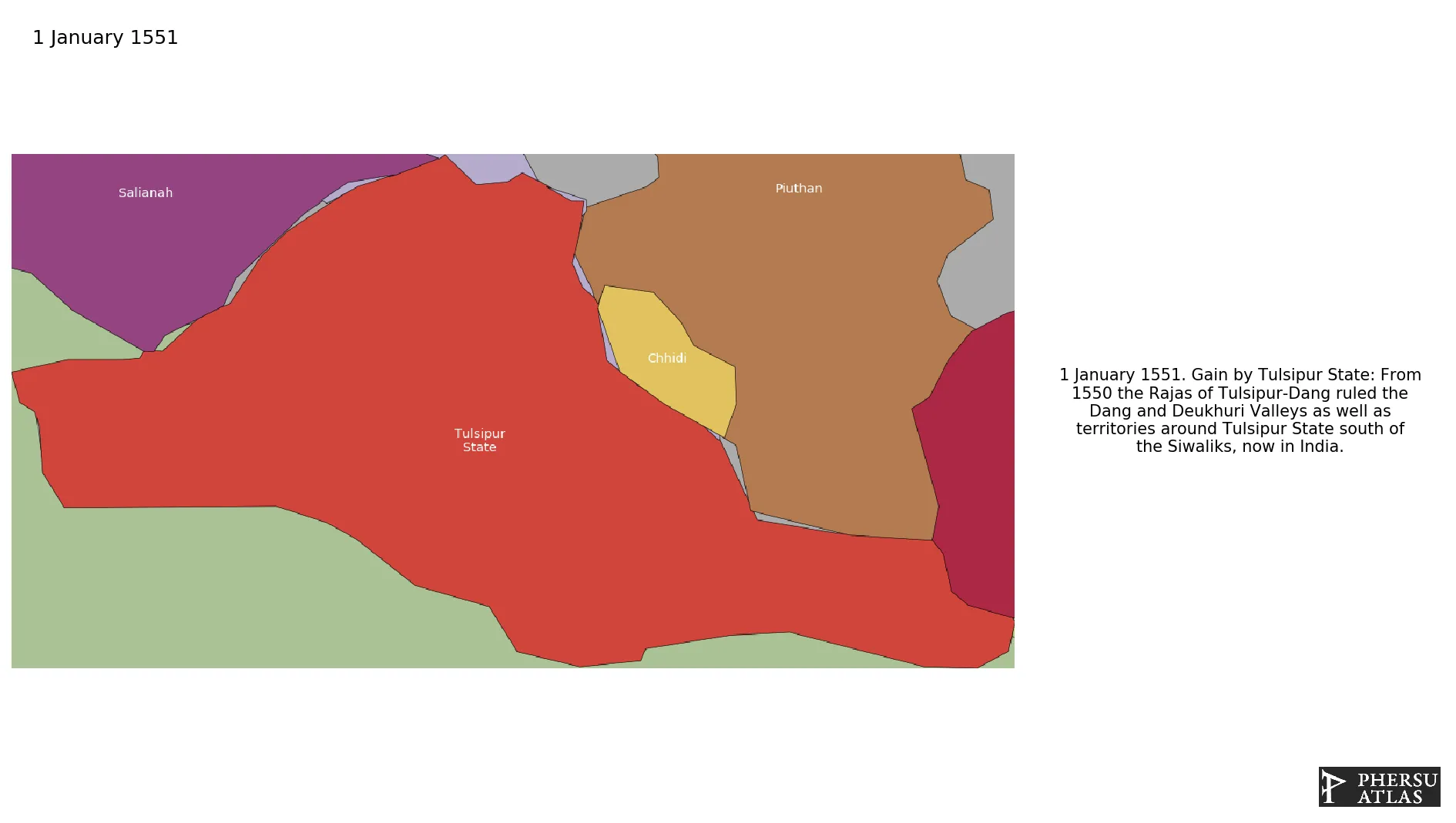
The Rajas of Tulsipur-Dang ruled the Dang and Deukhuri Valleys as well as territories around Tulsipur State south of the Siwaliks, now in India.

Establishment


  • January 1551: From 1550 the Rajas of Tulsipur-Dang ruled the Dang and Deukhuri Valleys as well as territories around Tulsipur State south of the Siwaliks, now in India.
  • Chronology


    Interactive Chronologies with maps are available in the section Changes Navigation

    1. Conquests of Rana Bahadur Shah


    Expansion during the rule of Rana Bahadur Shah in the Kingdom of Nepal.

  • January 1787: Piuthan was annexed by Nepal ca. 1786.
  • January 1787: Based on the border of Nepal in 1782.

  • 2. Further events (Unrelated to Any War)


  • January 1734: Malneta state founded.

  • January 1761: He ruled from Chaughera of Dang until 1760 AD as the House of Tulsipur which ruled one of the largest Taluqs of Oudh, India, which then included the Dang and Deukhuri Valleys.

  • Disestablishment


  • January 1860: Annexation of Tulsipur by British India.
  • Selected Sources


  • Rennell, J. (1782): Map of Hindustan, London (UK)
  • All Phersu Atlas Regions

    Africa

    Americas

    Asia

    Europe

    Oceania