Wahidi Sultanate
If you are looking for the page with the statistics about this polity you can find it here:All Statistics
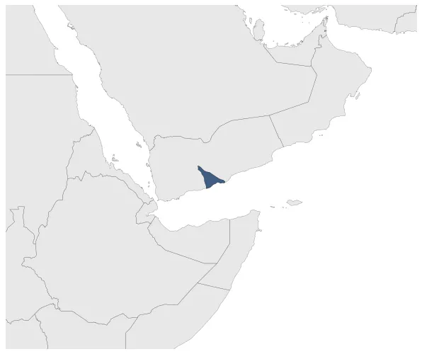
Was one of the many Southern Arabia Petty Kingdoms that later became protectorates of the British Empire.
Establishment
January 1641: Establishment of the Wahidi Sultanate (Saltanat al-Wahidiyya).
Chronology
Interactive Chronologies with maps are available in the section Changes Navigation
1. Events
January 1831: The Wahidi Sultanate split into four states.
January 1831: In 1830, the territory shown on the map was split into four states, with one part going to the Wahidi Sultanate of Bir Ali. This division was a result of the power struggle between the sons of the late Sultan of Lahej, who each sought control over different regions of the territory.
January 1831: In 1830, the territory of `Azzan was split into four states, with each state being ruled by a different branch of the ruling family of the Wahidi Sultanate of `Azzan. This division was a result of internal conflicts within the ruling family over succession and power.
January 1831: In 1830, the territory of Haban was split into four states, with one of them being the Wahidi Sultanate. The Wahidi Sultanate was ruled by Sultan Alawi bin Salim Al Wahidi at that time. This division of the territory marked a significant shift in the political landscape of the region.
Disestablishment
January 1896: In 1895, the Wahidi Sultanate of Bir Ali, led by Sultan Ali bin Abdallah Al Wahidi, was placed under British protection. This decision was made as part of the broader British control over the Aden Protectorate in the Arabian Peninsula.