Maximum Extent
Maximum Extent (Interactive Map)

Data

Name: Wabash Confederacy

Type: Polity

Start: 1751 AD

End: 1785 AD

Statistics

All Statistics: All Statistics

Icon Wabash Confederacy

If you are looking for the page with the statistics about this polity you can find it here:All Statistics

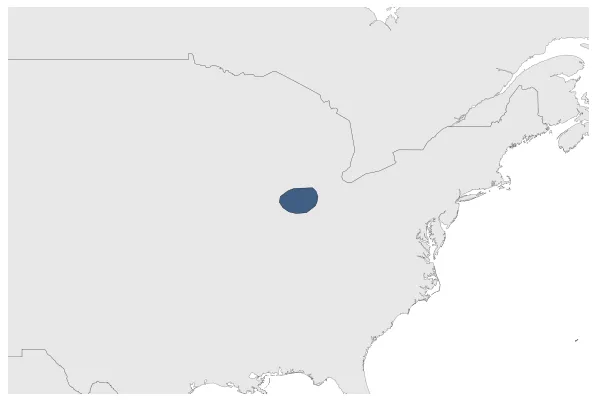
Was a confederation of 18th century Native American villagers in the area of the Wabash River in what are now the U.S. states of Illinois, Indiana, and Ohio.

Establishment


  • January 1751: Establishment of the Wabash Confederacy, a loose alliance of native village leaders.
  • Chronology


    Interactive Chronologies with maps are available in the section Changes Navigation

    Disestablishment


  • January 1786: In the 1780s, Little Turtle and Blue Jacket, headmen of the Wabash Confederacy, allied themselves with a larger, loose confederacy of Native American leaders known as the Northwestern Confederacy, led by leaders such as Joseph Brant and Buckongahelas. This alliance aimed to resist American expansion into Native lands.
  • All Phersu Atlas Regions

    Africa

    Americas

    Asia

    Europe

    Oceania