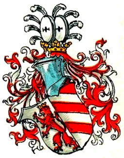
Rothenburg County
If you are looking for the page with the statistics about this polity you can find it here:All Statistics
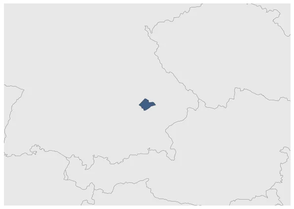
Was a county of the Holy Roman Empire.
Establishment
January 1101: After Bavarian and Germanic land seizures in the coming centuries, Count Rodolt or Rodin from the influential Ebersberg family converted the remains of a Roman complex into a castle. When the Sempt and Ebersberg families died out in 1045, the Lords and later Counts of Roning took over the inheritance. Count Otto, who founded the Roning-Rottenburg branch line, expanded the castle around 1100 in terms of defense and living space in order to live in it himself.
Chronology
Interactive Chronologies with maps are available in the section Changes Navigation
Disestablishment
January 1280: After the Counts of Moosburg-Rottenburg died out in 1279, Veste Rottenburg and the surrounding area passed into the possession of the Wittelsbach Duke Heinrich von Niederbayern.