
Data
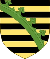
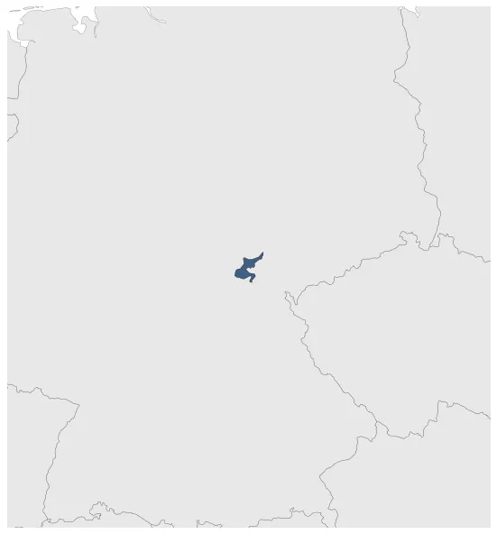
Name: Saxony-Saalfeld Duchy
Type: Polity
Start: 1681 AD
End: 1735 AD
Statistics
All Statistics: All Statistics
 Saxony-Saalfeld Duchy
If you are looking for the page with the statistics about this polity you can find it here:All Statistics
Was a state of the Holy Roman Empire in Thuringia. It was one of the many Ernestine Duchies that divided and reunited several times and that were ruled by dukes of the Ernestine line of the House of Wettin.
Establishment
Chronology
Interactive Chronologies with maps are available in the section Changes Navigation


