Most recent flag or coat of arms
Video Summary
Video Summary
Maximum Extent
Maximum Extent (Interactive Map)

Data

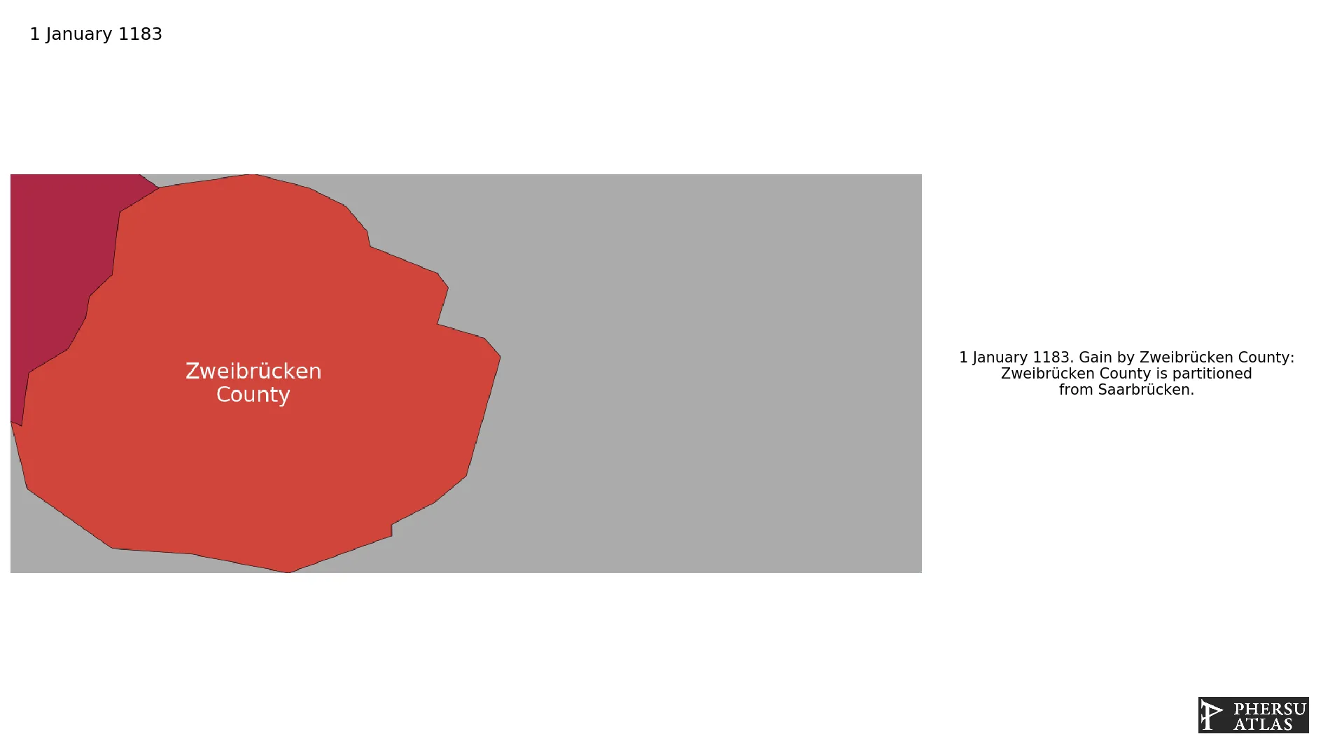
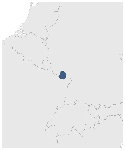
Name: Zweibrücken County

Type: Polity

Start: 1183 AD

End: 1385 AD

Statistics

All Statistics: All Statistics

Icon Zweibrücken County

If you are looking for the page with the statistics about this polity you can find it here:All Statistics

Was a county of the Holy Roman Empire.

Establishment


  • January 1183: Zweibrücken County is partitioned from Saarbrücken.
  • Chronology


    Interactive Chronologies with maps are available in the section Changes Navigation

    1. Events


  • January 1287: Bitsch County is partitioned from Zweibrücken.

  • January 1379: Based on Gustav Droysen's Map of the Holy Roman Empire in the XIV century.

  • Disestablishment


  • January 1386: Zweibrücken sold to the Palatinate.
  • Selected Sources


  • Droysen, G. (1886): Historischer Handatlas, Bielefeld and Leipzig (Germany), pp. 30-31
  • All Phersu Atlas Regions

    Africa

    Americas

    Asia

    Europe

    Oceania