Most recent flag or coat of arms of Ortenburg County
Most recent flag or coat of arms

Information

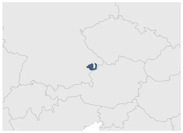
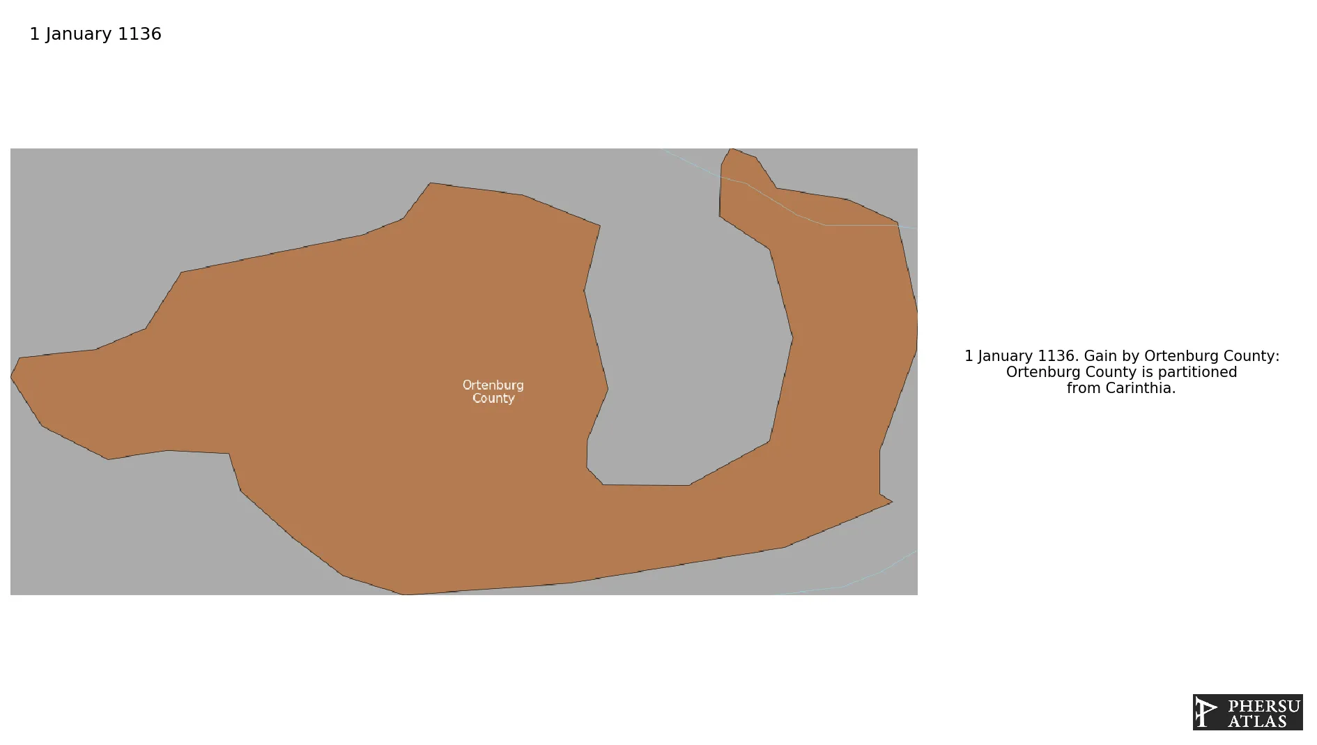
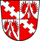
Name: Ortenburg County

Type: Polity

Start: 1136

End: 1805

Groups:

Holy Roman Empire

polity Ortenburg County: All Data

This page is about the data available for this polity, the chronology of the events of the polity is available here.

Was a county of the Holy Roman Empire.

1. Maps of Political Control Over Time

2. Maximum Historical Extents during Events

3. Lists and Timelines of Events that took place in the Polity

4. Maps Comparing Territorial Boundaries Before and After Wars

map_chartMongol invasions and conquests

map_chartMongol Invasions of Germany

map_chartFirst Mongol Invasion of Germany

map_chartFrench Revolutionary and Napoleonic Wars

map_chartWar of the Second Coalition

map_chartWar of the Third Coalition

5. Monthly Summaries of Events

Monthly Summaries of Events during Wars

6. Time Series of Territorial Changes

Time Series of Territorial Changes by specific invasor/invaded couple

Time Series of Territorial Changes during specific Events

7. Time Series of Historical Population and Area

Historical Population and Area during specific Events

8. Events Navigation - Explore All Territorial Changes

All Territorial Changes during specific Events

All Phersu Atlas Regions

Africa

Americas

Asia

Europe

Oceania